July 27, 2026
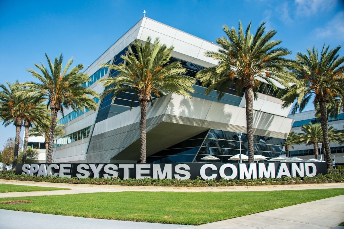
Army, Navy and Space Force Test Maritime “Hammer of the Gods” to Counter GPS Disruption
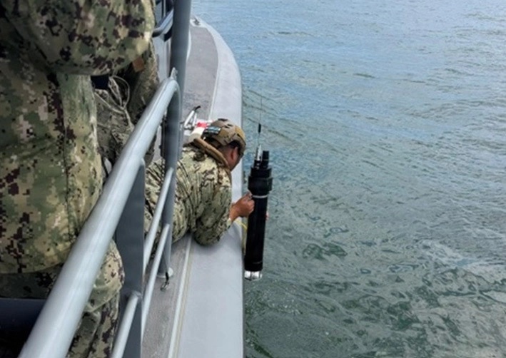
The U.S. Army, Navy and Space Force put a maritime version of an electronic warfare system called Hammer of the Gods to sea for the first time in mid-July 2026, during Project Convergence Capstone 6 (PC-C6), the Army’s large-scale joint experimentation event.
By Inside GNSS